|
Some history of Cache Creek
|
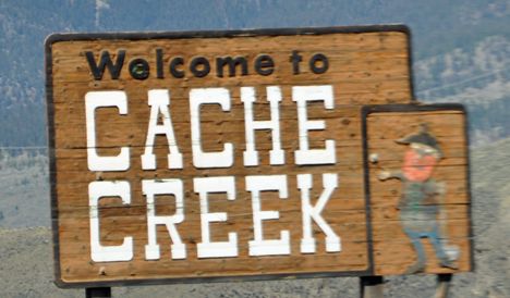 |
Cache Creek is a historic transportation junction and incorporated village 354 kilometres (220 mi) northeast of Vancouver in British Columbia, Canada. It is on the Trans-Canada Highway in the province of British Columbia at a junction with Highway 97. The same intersection and the town that grew around it was at the point on the Cariboo Wagon Road where a branch road, and previously only a trail, led east to Savona's Ferry on Kamloops Lake. This community is also the point at which a small stream, once known as Riviere de la Cache, joins the Bonaparte River.
The name is derived, apparently, from a cache or buried and hidden supply and trade goods depot used by the fur traders of either the Hudson's Bay Company or its rival the North West Company.[4] Although it was first incorporated as a Local District municipality with the name Cache Creek in 1959, the name has been associated with this community since long before incorporation. A Cache Creek post office was first established here in 1868.